Headland, village, end of the tram · 4220
Renting in Burleigh Heads
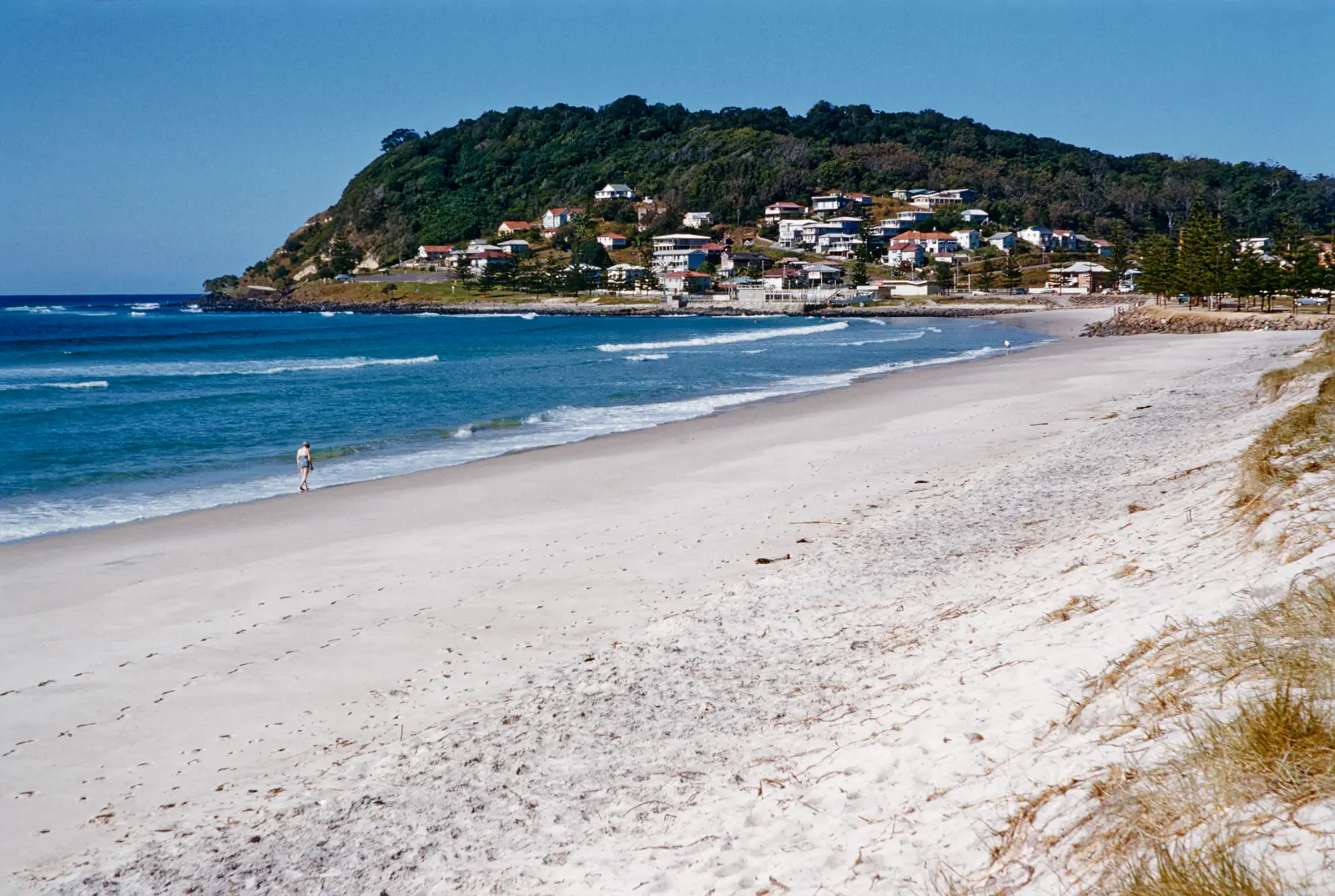 Photo: Jack Bain · CC BY 4.0 on Wikimedia Commons (opens in a new tab)
Burleigh Heads is the headland suburb: a national park, a point, a patrolled beach, and the James Street village. Houses, older walk-ups, and newer apartments sit close together. It feels smaller than Surfers. Parking and holiday crowds will argue with that feeling.
Since 9 August 2026 the G:link terminates at Burleigh Heads. That changed how people move between here and Broadbeach. It did not add a train, and it did not remove the need to look at the specific street.
What to check
The village does not have spare parking
James Street looks walkable and parks like a pinch point. If you have a car, the agreement needs a bay. If you don’t, confirm you can live without one.
Low streets and the creek
Parts of the suburb near Tallebudgera Creek and the foreshore can flood. A suburb name does not tell you about one lot. Check the City of Gold Coast’s flood information for the address.
The headland is not a flat walk
Burleigh Hill and the national park are steep. A listing “near the headland” can mean a serious walk home with shopping. Do the walk.
Tram works may still be finishing
Passenger services started on 9 August 2026. The Queensland Department of Transport and Main Roads noted that some finishing works could follow. If your street is on the corridor, ask what is still scheduled.
House or unit, say which
If you are renting a house, read who mows, who maintains the yard, and whether outdoor areas are part of the agreement. If it is a unit, read the by-laws on pets and balconies.
Getting around and daily life
Transport notes checked in October 2026. Services change. Confirm the trip on Translink (opens in a new tab) and the light rail project page (opens in a new tab).
Burleigh Heads station is the southern end of the G:link. Second Avenue is the station on the approach. North of that, the 2026 extension added Mermaid Beach, Mermaid Beach South, Nobby Beach, Miami North, Miami, and Christine Avenue before you reach Broadbeach South.
The Department of Transport and Main Roads puts the Broadbeach South to Burleigh Heads trip at about 16 to 17 minutes. Palm Beach and Coolangatta are still bus trips south. Heavy rail remains inland, ending at Varsity Lakes. Check Translink; bus routes were recast in September 2026 after the tram opened.
James Street
Cafes, a supermarket, and a crowd. Good for daily life if you can walk. Difficult if you expected to park outside.
National park and the point
The headland walk is the landmark. The surf at the point is not a sheltered bay on every swell. Use patrolled flags for swimming.
Just south
Palm Beach is the next beach suburb. Just inland, Burleigh Waters and the Stockland centre are where some highway buses now turn. Don’t assume a bus continues to Broadbeach.
For flood risk, use the City of Gold Coast (opens in a new tab) mapping for the street address. A suburb-wide “it flooded once” is not a substitute.